top of page

Vehicle tracking starts with quality map services
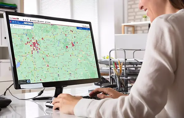
EasyTRACK provides continuous, real-time insight into your fleet. The keystone of our service is a highly detailed map interface, which displays the current position of your vehicles and a range of other useful data.

What are the advantages?

In addition to the current position of the vehicles, you can see the direction of travel and the daily route travelled.
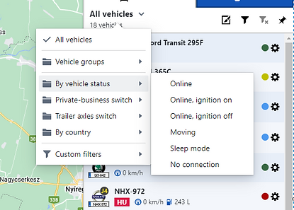
You can narrow down the list of vehicles by any filter conditions, from which you can select the ones that appear on the map.


In addition to the number plate, you can check the condition, fuel level, driver and speed of vehicles, depending on the service.
Recorded POI points are displayed on the map. You can record these yourself or ask for help from our customer service team, who will facilitate bulk imports if the right data is available.


In the system, you can choose between Google Maps and HereWeGo map.

Basemap view

Blended map
(combination of base and satellite)

Satellite view

Field
(the topography is also shown)
You can also activate additional map layers that display further information on the map:

Traffic information

Google interesting sites

Weight and height restrictions

Postcodes

Forestry map layer
(forest layers, forest fragments and parcels of land)
The map interface is the starting point of the entire easyTRACK service, on which all other useful functions are based.
Be always up-to-date, and follow your fleet easily in real time!

Just a few clicks on the mobile app or in your browser, and you will always be aware of where your company vehicles are.
Do you have any questions?
bottom of page
